See Four Countries!
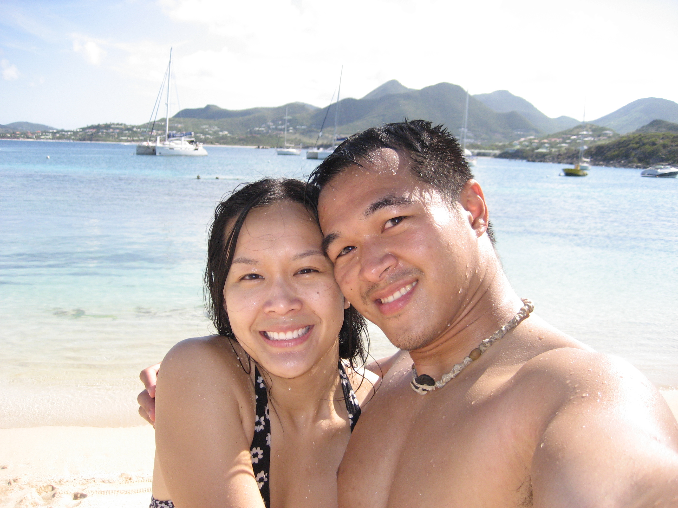
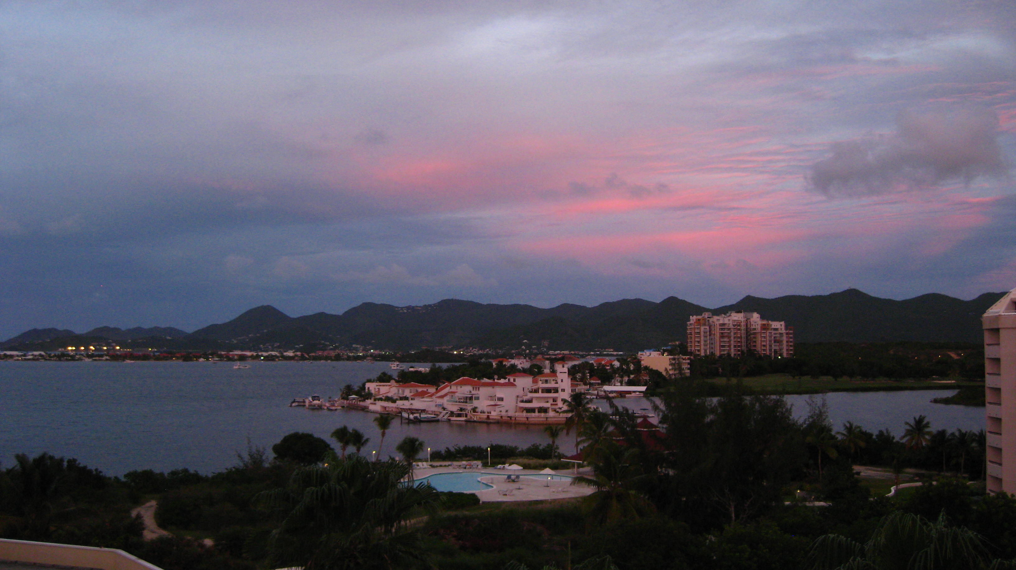
This northeastern corner of the Caribbean that we are at is a crossroad of countries, an international hotspot. Just from an eye’s view away I can practically see a mini-version of the United Nations everyday here. On a clear day from campus, it’s easy to see the UK, France, Netherlands, and St. Kitts and Nevis! Let me show you some pictures I’ve taken from campus.

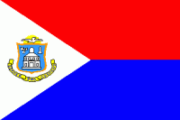
SINT MAARTEN (NETHERLANDS)
Capital: Philipsburg
Political Status: member island of the Netherlands Antilles (but soon to be Country within the Kingdom of the Netherlands on 10-10-10)
Area: 13.1 square miles
Population: 40,917
Distance from AUC: 0 miles
Currency: US Dollar, Antillean guilder (soon to be St. Maarten guilders on 10-10-10)
Med Schools: American University of the Caribbean School of Medicine
What’s there: Casinos, hotels, tourists, beautiful beaches, lagoon, people from all over the world, stray cats, speed bumps.

SAINT-MARTIN (FRANCE)
Capital: Marigot
Political Status: Overseas collectivity of France
Area: 20.5 square miles
Population: 35,925
Distance from AUC: <1 mile
Currency: Euro
Med Schools: None
What’s there: French people, nude beaches, upscale French restaurants, croissants, baguettes, smooth roads.

ANGUILLA (UK)
Capital: The Valley
Political Status: British overseas territory
Area: 35 square miles
Population: 13,600
Distance from AUC: 8 miles
Currency: East Caribbean Dollar
Med Schools: St. James School of Medicine (Anguilla Campus)
What’s there: Shoal Bay East, Cap Juluca, lots of goats, lots of chickens, friendly people, half-finished buildings, road-side grills, driving on left side.

SABA (NETHERLANDS)
Capital: The Bottom
Political Status: member island of the Netherlands Antilles (but soon to become a special municipality of Holland on 10-10-10)
Area: 5 square miles
Population: 1,424
Distance from AUC: 30 miles
Currency: Antillean Guilder (soon to be US Dollar on 10-10-10)
Med Schools: Saba University School of Medicine
What’s there: extinct volcano jutting out of the sea, pinnacle diving, cute white houses with red roofs and green window shutters, old women sewing beautiful laces, a cliff-lined beach that appears and disappears with the tide, no crime.

SINT EUSTATIUS (NETHERLANDS)
Capital: Oranjestad
Political Status: member island of the Netherlands Antilles (but soon to become a special municipality of Holland on 10-10-10)
Area: 8.1 square miles
Population: 3,100
Distance from AUC: 40 miles
Currency: Antillean Guilder (soon to be US Dollar on 10-10-10)
Med Schools: University of Sint Eustatius School of Medicine
What’s there: Forts, historical ruins, the Quill

ST. KITTS AND NEVIS
Capital: Basseterre
Political Status: Federation of Saint Kitts and Nevis
Area: 104 square miles
Population: 51,300
Distance from AUC: 50 miles
Currency: East Caribbean Dollar
Med Schools: Medical University of the Americas, University of Medicine and Health Sciences, Windsor University
What’s there: Old sugar cane plantations, Mount Liamuiga, Brimstone Hill Fortress, Alexander Hamilton’s birthplace, monkeys.