Pic Paradis
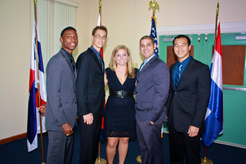
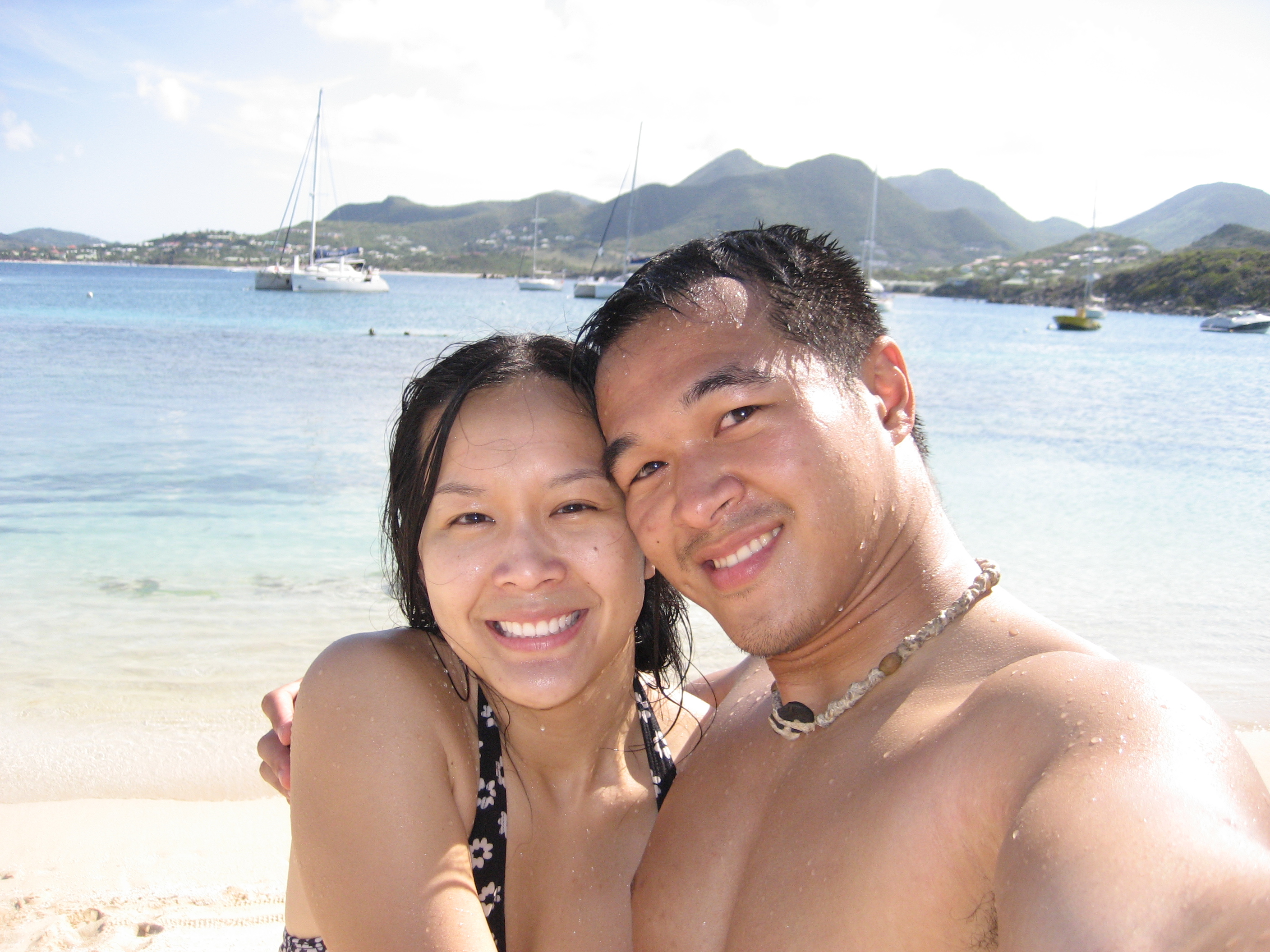
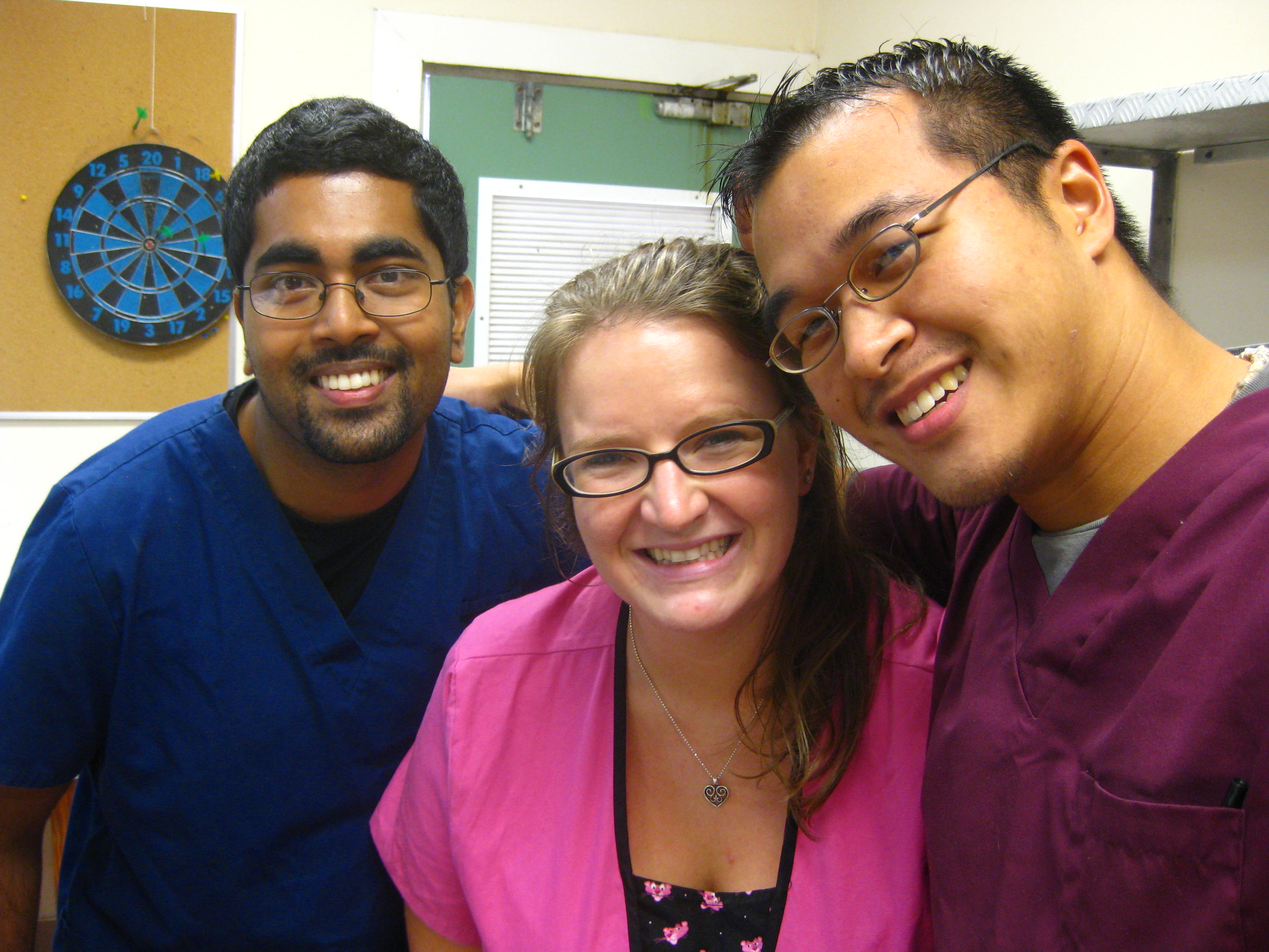
I’d like to share with you all a trip I took with Irene, Sameeksha, and Ben back in the beginning of the summer. Throughout second semester, Sameeksha and I had planned on taking a hike to Pic Paradis, but after one obstacle after another — i.e. sprained ankles, dog bites, block exams — we never got to it. It was finally in the beginning of third semester, when Irene came to visit me in St. Maarten and Sameeksha’s good friend Ben was visiting as well that we decided to all take a pre-semester trip to conquer St. Martin’s tallest peak.

The narrow, scraggly road that leads to the peak is among some of the steepest roads I have driven on. With no shoulder and the pavement so old that it is virtually unpaved, driving there was an adventure in itself.
Once we arrived at the top of the mountain, we reached a dead-end at a radio tower, where we parked on the side of the road. We first hiked a small trail that started a little distance before the place we parked. This steep trail led to the highest point on Pic Paradis. On top, we could see wonderful vistas of the whole island and beyond in all directions. Seeing oceans on all sides, we realized how small our world on the island was. We were but a small rock in the vast sea. Pic Paradis rises relatively high out of the ocean compared with its neighbors. We were so high up that we could even point down to the tops of the tallest mountains on St. Barths in the distance, and spy on all of Anguilla on the other side, as St. Kitts and Saba rise above the waters in the distance.

Next, we attempted the more popular trail, just at end of the road, with a rudimentary sign pointing to a “lookout point.” This trail links mountain peaks to mountain peaks across central St. Maarten. Comparatively, this trail was flatter and much easier to hike, but as we wound through the forest, we found a lot of shrubbery, spider webs, and sometimes even thorns to watch out for. Because of this, I’d recommend wearing close-toed shoes here and like any hiking trail, to be careful.

A one-way hike would take about 2 hrs to complete, or 4 hrs roundtrip, if you please to go that far. As the trail winds through forest and meadows, you may see mango trees (or even pick a mango or two to try), banana trees, and if you’re really lucky, you may even spot a monkey. Yes you heard right… monkeys. Monkeys are not native to St. Maarten, but according to locals, there used to be a man who imported and raised St. Kitts Vervet monkeys around the Pic Paradis area back in the days. After Hurricane Luis nearly wiped out the whole island in 1995, it also wiped out the conservatory that contained the monkeys, freeing them into the wild. Today, after 15 years of freedom from captivity, they have become a new generation of wild monkeys who live in the last remaining forests of St. Maarten on Pic Paradis.
Although seeing monkeys would have been really awesome, the only monkeys I saw that day were the four of us homo sapiens, but I didn’t mind… we were having a great time together.

To get to Pic Paradis from AUC, drive past Marigot on the main road and look out for signs to Pic Paradis on the right side. Take a right on the side road and go straight up to the mountain. The side road that takes you to Pic Paradis also goes by Loterie Farms, where I would highly recommend the Xtreme Ziplining course and the good restaurant.